

Six domains. One integrated system.
Drone technology delivers value only when it's built around a concrete need. Every solution rests on the same foundation: matched UAV technology, intelligent sensor payloads, and the in-house DroniumApp as the central control and analytics platform.
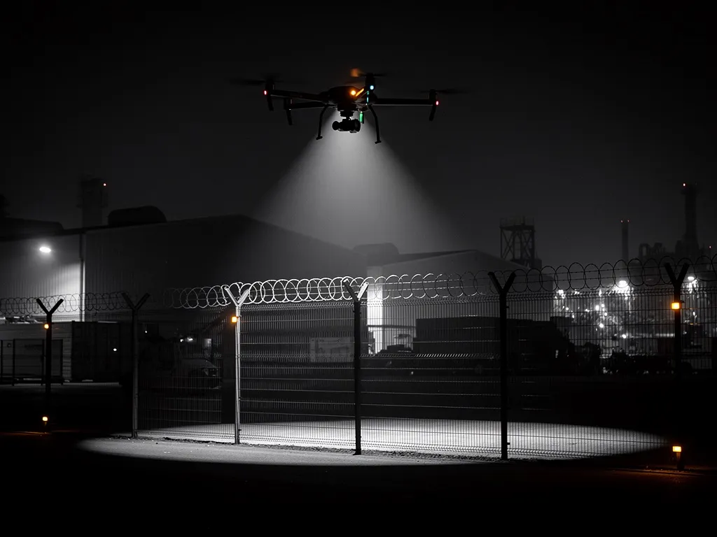
Perimeter Security
Extensive sites, industrial parks, logistics centres and critical infrastructure can't be fully protected by stationary systems alone.
Dronium delivers integrated solutions where autonomous drones, ground sensors and the DroniumApp work as one connected security system. On sensor trigger, the assigned drone launches automatically, flies to the affected zone and delivers live footage to the operator or control room within seconds — around the clock, with no blind spots.
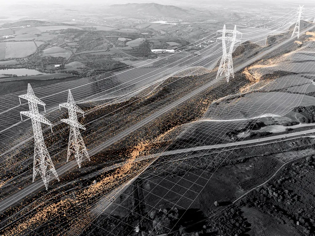
Geo Mapping & Inframapping
Precise geodata is the foundation for planning, documentation and forward-looking infrastructure management.
Dronium produces high-resolution terrain models (DEM/DSM), LiDAR point clouds and thermal maps — georeferenced, centimetre-accurate and importable directly into GIS and CAD systems. In inframapping, we systematically map utility lines, power corridors and other infrastructure assets. The resulting datasets feed directly into asset-management systems, forming the basis for data-driven maintenance instead of reactive repair.
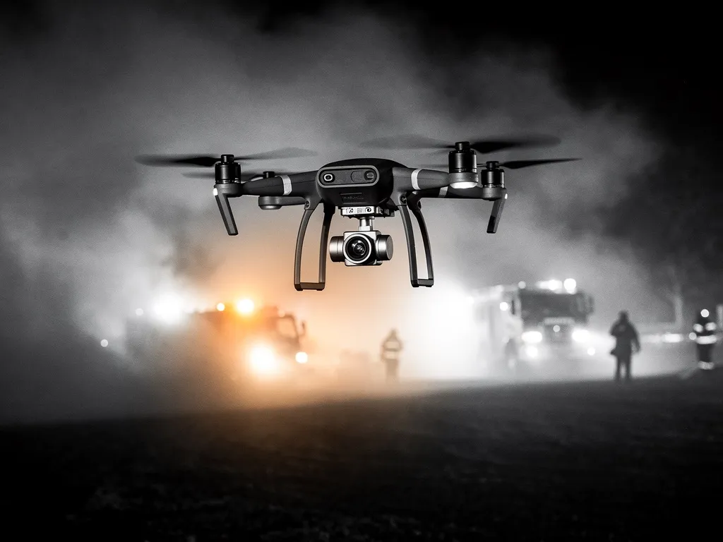
First Response
In an emergency, every second counts.
Dronium drones launch fully autonomously on defined alarm events, reach the scene before the first vehicle, and transmit live and thermal imagery directly to the devices of incident commanders, control rooms and ground crews. Thermal cameras reliably locate people in smoke, darkness and difficult terrain. Seamless integration with existing emergency-service infrastructure makes the system a full-fledged part of the response chain.
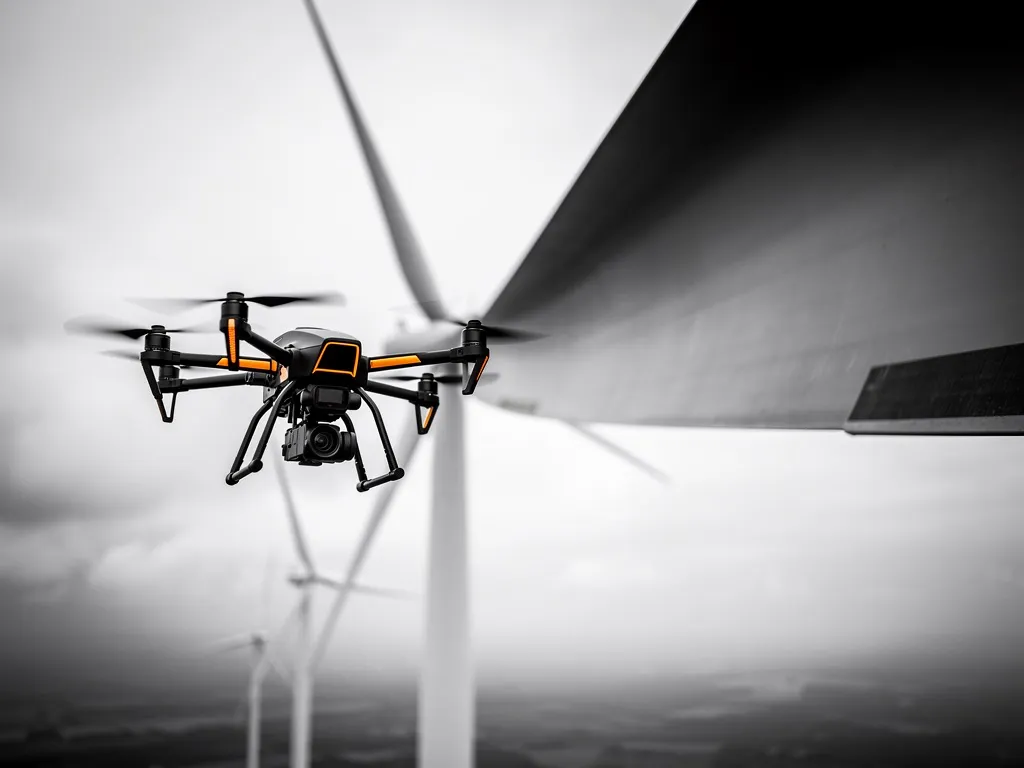
Drone Inspection & Condition Assessment
Industrial rope access, aerial platforms and manual site visits quickly hit their limits on large or hard-to-reach structures — in cost, time and safety.
Dronium conducts drone inspections of wind turbines, bridges and structures, industrial plants and chimneys, high-voltage overhead lines, and rail infrastructure. High-resolution optics and thermal imaging capture damage, wear and anomalies precisely and reproducibly, with exact GPS positioning. Results are delivered as structured inspection reports — compliant with TÜV, DEKRA and industry safety-body requirements.
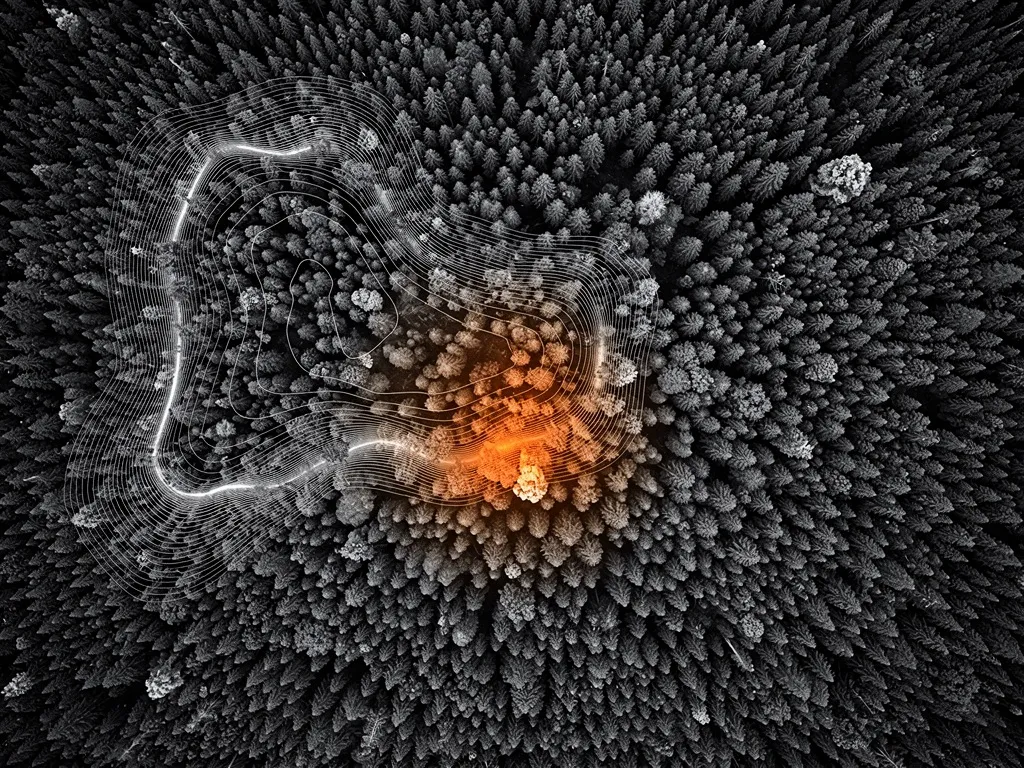
Environment & Conservation
Public authorities, research institutions and forestry operators need to survey, document and assess large areas regularly — to methods that meet scientific and regulatory standards.
Dronium offers drone-based vegetation and habitat mapping using multispectral and LiDAR data, water-body and coastal monitoring with spectral and thermal sensing, and automated wildfire early-warning systems for high-risk areas. All results are delivered in formats compatible with public authorities and meet the requirements of the EU Water Framework Directive, Natura 2000 monitoring and other conservation reporting obligations.
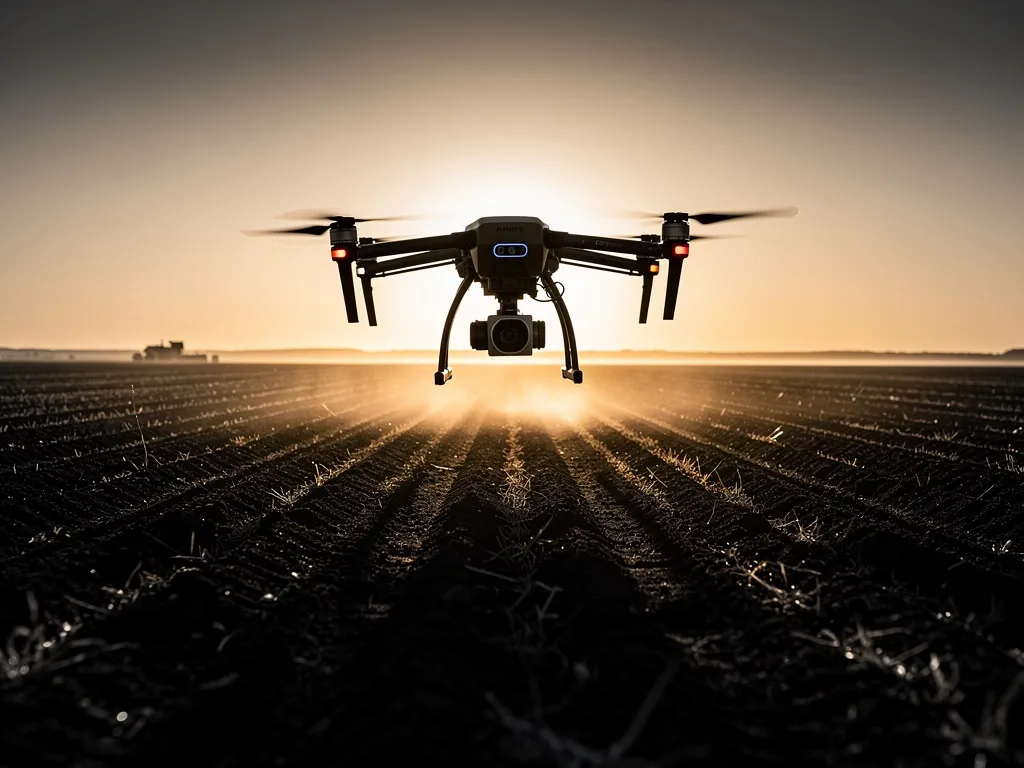
Drones in Agriculture
Precision farming requires current, field-accurate data — and the ability to act on it immediately.
Dronium supports arable farms, orchards, vineyards and forestry businesses with drone-based field analysis (water content, plant vitality, damage zones), zone-specific irrigation control, drone seeding for reforestation and overseeding, and thermal wildlife rescue during mowing. The DroniumApp connects mapping and active operations in a single continuous workflow — exportable to common agricultural and forestry planning software.
Every project starts with a concrete need
And every need is different. That's why Dronium doesn't follow a standard process, but a structured method that ensures the result truly fits the task — from the first conversation to ongoing operation.
Request a consultation →