

Solutions — 05
Environment & Conservation
Public authorities, research institutions and forestry operators need to survey, document and assess large areas regularly — using methods that meet scientific and regulatory standards.
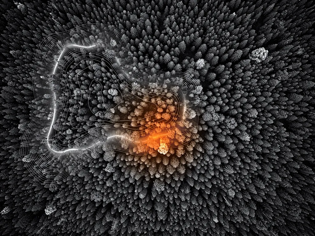
Dronium offers drone-based vegetation and habitat mapping using multispectral and LiDAR data, water-body and coastal monitoring with spectral and thermal sensing, and automated wildfire early-warning systems for high-risk areas. All results are delivered in formats compatible with public authorities and meet the requirements of the EU Water Framework Directive, Natura 2000 monitoring and other conservation reporting obligations.
Multispectral sensors capture wavelength ranges beyond visible light, revealing plant stress, water quality or habitat boundaries invisible to the human eye. In high-risk areas, stationary sensor stations with automated drone launch complement the monitoring: early signs of wildfire or damage are detected before they spread, triggering an immediate verification flight. All collected data is delivered in the same authority-compatible formats required for reporting under the EU Water Framework Directive and Natura 2000 monitoring.
Why drones make a difference in environmental protection
Traditional environmental surveys are time- and labour-intensive. Field mapping on foot covers only limited areas. Satellite data is often too coarse, too infrequently updated, or blocked by cloud cover. Fixed-wing or helicopter flights are expensive and logistically demanding.
Drones close that gap. They're ready to deploy in minutes, operate at low altitude with high resolution, fly beneath cloud cover, and deliver georeferenced data at a quality suited equally to scientific analysis, regulatory documentation and operational decisions. For environmental protection, that means more coverage, greater data depth and faster response times — at a fraction of the effort of conventional methods.
Dronium doesn't just supply the drones. We supply the system: matched sensor technology, structured data processing, and software that turns raw data into actionable insight.
Vegetation and habitat mapping
Vegetation mapping is the foundation for almost every decision in conservation: where are the habitats worth protecting? How is plant cover changing over time? Where are invasive species spreading? How does vegetation respond to climate change, land-use change or protective measures?
Dronium produces vegetation maps and habitat analyses from multispectral flights and LiDAR data. Multispectral cameras capture wavelengths beyond visible light, revealing plant health, biodiversity and biomass in ways ordinary photography cannot. NDVI (Normalized Difference Vegetation Index) and related indices deliver full-coverage images of plant condition — across hectares, in a single flight.
LiDAR data adds the third dimension: stand height, canopy structure, vegetation layering and shading analyses, all derived from point clouds at a precision that ground-based forest inventories can only achieve through sampling.
Results are delivered in GIS-compatible formats and integrate directly into the specialist information systems used by environmental authorities, forestry planning software and scientific analysis workflows.
Typical applications:
- Biotope mapping and Natura 2000 / FFH monitoring for habitats directive obligations
- Mapping invasive species such as Japanese knotweed or giant hogweed
- Documenting vegetation change in protected areas over time series
- Forest inventories and damage assessment after storms or bark beetle infestation
- Habitat suitability analyses for species protection assessments and environmental impact studies
Water body and coastal monitoring
Water bodies are complex, dynamic systems. Water quality, riparian vegetation, sediment transport, algae growth, flood risk — all of it changes continuously, requiring regular, area-wide surveys to spot trends and act in time.
Drones are particularly well suited to water monitoring because they capture water surfaces, riverbanks and floodplains from the air without disturbing the ecosystem. Dronium draws on several complementary sensor technologies for water monitoring:
Multispectral and hyperspectral cameras detect algal blooms, turbidity and discharges from their spectral signature. Nitrogen and phosphorus input, cyanobacteria or unauthorised wastewater discharges leave characteristic spectral patterns that show up from the air far earlier than isolated water samples would reveal.
Thermal imaging reveals temperature gradients in water bodies, pointing to warm- or cold-water discharges, thermal stratification, or ecologically significant habitat structures. For authorities monitoring discharge permits or documenting climate-driven temperature change, thermal imaging is a valuable tool.
High-resolution orthophotos and terrain models capture bank changes, erosion, sediment bars and flood boundaries precisely and reproducibly. Comparisons between survey cycles show how water bodies change over time — the basis for river restoration planning, flood protection and ecological assessments under the EU Water Framework Directive.
For coasts and wetlands, Dronium also maps salt marshes, tidal flats and dune structures, including time-series analysis of coastal dynamics and erosion — increasingly important in the context of rising sea levels.
Wildfire early warning
Wildfires are one of the fastest-growing environmental threats in Central Europe. What used to be primarily a Mediterranean problem increasingly affects Germany, Austria and Switzerland too, driven by longer dry spells, rising temperatures and extensive conifer forests that fuel the spread.
Early detection is everything. Every minute between ignition and first response multiplies the area a fire can burn through. Dronium provides drone-based wildfire early-warning systems that operate systematically and automatically in risk zones and during high-danger periods.
How the system works
Thermal-imaging drones patrol predefined routes over forest areas, continuously scanning for heat anomalies. Ground-level temperature signatures indicating a smouldering fire or spark ignition are picked up by the thermal camera and immediately relayed as an alert to the responsible authorities through the DroniumApp — complete with GPS coordinates, timestamp and thermal image.
The system can run fully autonomously: drones launch on schedule or automatically when a weather-based fire-risk index rises, return to their charging station after the flight, and are ready for the next mission within minutes. Integration with meteorological data lets patrol frequency adapt dynamically to the actual fire risk.
Who needs wildfire early warning?
Forestry authorities, national park administrations, districts with large forested areas and private forestry operators all benefit. Especially during the growing season — April to October — a permanent monitoring system can be the difference between a contained incident and a large-scale fire.
Dronium develops tailored monitoring concepts for defined forest areas: risk analysis, route planning, alert structure and integration with existing fire brigade and disaster-response command systems. On request, the system is combined with stationary ground sensors for seamless, multi-layer early detection.
DroniumApp: environmental data you can act on
Environmental data only has value if it can be analysed quickly, communicated clearly and processed further with ease. The DroniumApp covers the entire workflow — from mission planning to authority-compliant documentation.
All data is stored in an audit-proof archive and documented to meet the requirements of public-sector clients and research institutions.
For environmental and conservation applications, the DroniumApp provides:
- Automatic mission planning for recurring monitoring flights, with seasonal adjustment
- Real-time alerts for heat anomalies, water quality issues or defined threshold breaches
- Time-series comparisons across multiple survey cycles with automatic change detection
- GIS export to QGIS, ArcGIS and other specialist systems
- Report generation for authorities, funding bodies and scientific documentation
- Access control for multiple project stakeholders — authorities, research institutions, contractors
Environmental law and funding opportunities
Many environmental monitoring tasks aren't just good practice — they're legally required or eligible for funding. The EU Water Framework Directive, the Habitats Directive, national conservation law and state forest protection programmes all define concrete monitoring and reporting obligations, and drone-based methods are increasingly recognised as a way to meet them.
At the same time, EU, national and regional funding programmes for environmental monitoring, climate adaptation and conservation measures explicitly include modern remote-sensing methods. On request, Dronium also advises public-sector clients and research institutions on funding regulations and supports the documentation needed for grant applications.
Why Dronium for environmental and conservation projects?
Environmental monitoring places particular demands on data precision, reproducibility and scientific rigour. Authorities and research institutions need results that meet methodological standards, fit into specialist systems and remain comparable over the long term. NGOs and conservation organisations need a partner who understands their project goals and delivers on them efficiently.
Dronium brings both together: the technical competence for demanding environmental applications and an understanding of the professional and institutional requirements of public and scientific clients. We work to documented methodological standards, deliver in authority-compatible formats, and act as a long-term partner for recurring monitoring work.
Our systems are EASA-compliant and approved for operation in protected areas, over water bodies and near forests. Where required, conservation-law exemptions are obtained in coordination with the relevant authorities on request.
→
Benefits at a glance
- Reveals plant stress and water quality beyond visible light
- Early wildfire warning through automated verification flights
- Reports directly compatible with EU Water Framework Directive and Natura 2000 monitoring
- Repeatable, objective data instead of isolated spot checks
→