

DroniumApp — Sensors
Sensor Data Integration
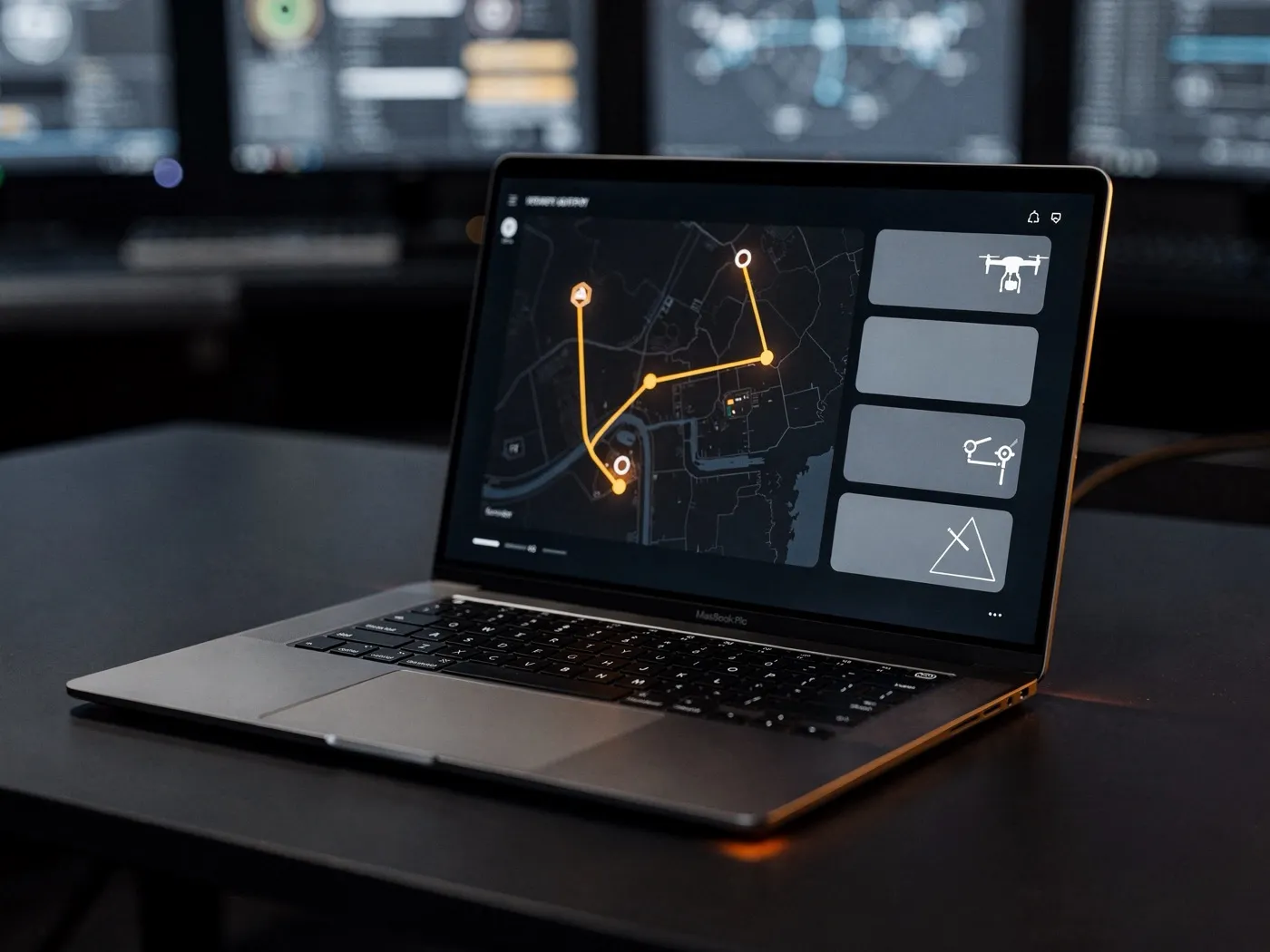
The DroniumApp is more than drone control — it's a sensor-integration platform that brings data from different sources together into a single, shared operational picture.
Alongside the drone's own cameras and sensors, stationary ground sensors, weather stations and third-party systems can all be connected to the DroniumApp. Every data stream comes together in one shared, georeferenced operational picture, so operators and control rooms always see the full context — not just what the drone happens to be filming.
Every sensor communicates directly with the DroniumApp, appears on the map view, and can be configured to trigger automatic drone missions.
The result is a fully connected security and monitoring system in which ground-based intelligence and aerial reconnaissance work seamlessly together. Ground sensors handle early detection — the drone handles the immediate response and verification. False alarms are minimised through visual confirmation, and real incidents are documented without gaps.
Example use cases: PIR and radar motion detectors, Thermal cameras (fixed and drone-mounted), Acoustic sensors, Seismic sensors, Optical fence-monitoring systems.
→
Benefits at a glance
- One shared operational picture for drone, ground and third-party data
- Connects stationary sensors and weather stations
- Full context instead of isolated individual data streams
- Foundation for automated alerting and analysis
→