

DroniumApp — Live
Live Monitoring & Map View
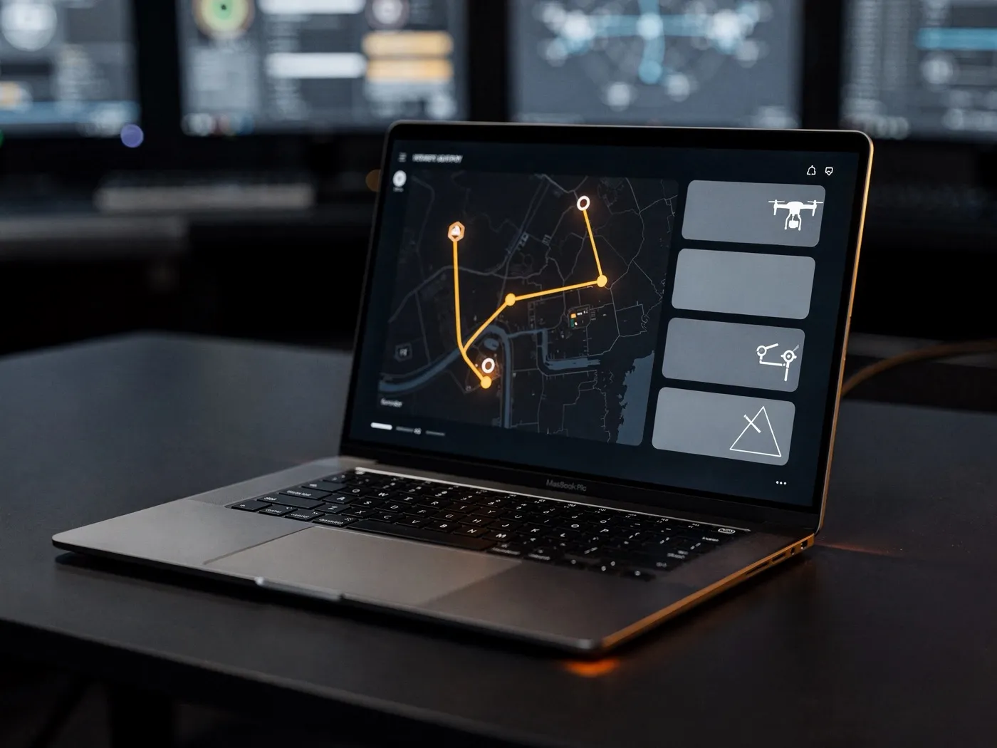
The heart of the DroniumApp is the live map view: a georeferenced, real-time picture of every active drone, sensor and mission in progress. Operators can see at a glance where each unit is, what status it's in, which sensor just triggered, and what the current camera feed shows.
The map view is dynamic and context-aware. It shows drone positions in real time, overlay-based thermal-imaging analysis, sensor status and alert zones — all on a single shared map base that switches between satellite, street and terrain view. Multiple objects and sites can be monitored in parallel, with no need to switch between views.
For control rooms and security operators, that means complete situational clarity — in real time, without losing information and without the need to manually merge data from different sources.
→
Benefits at a glance
- Georeferenced real-time overview of every drone, sensor and mission at a glance
- Seamless switching between satellite, street and terrain view
- Parallel monitoring of multiple objects and sites without changing views
- Complete situational clarity for control rooms with no manual data merging
→