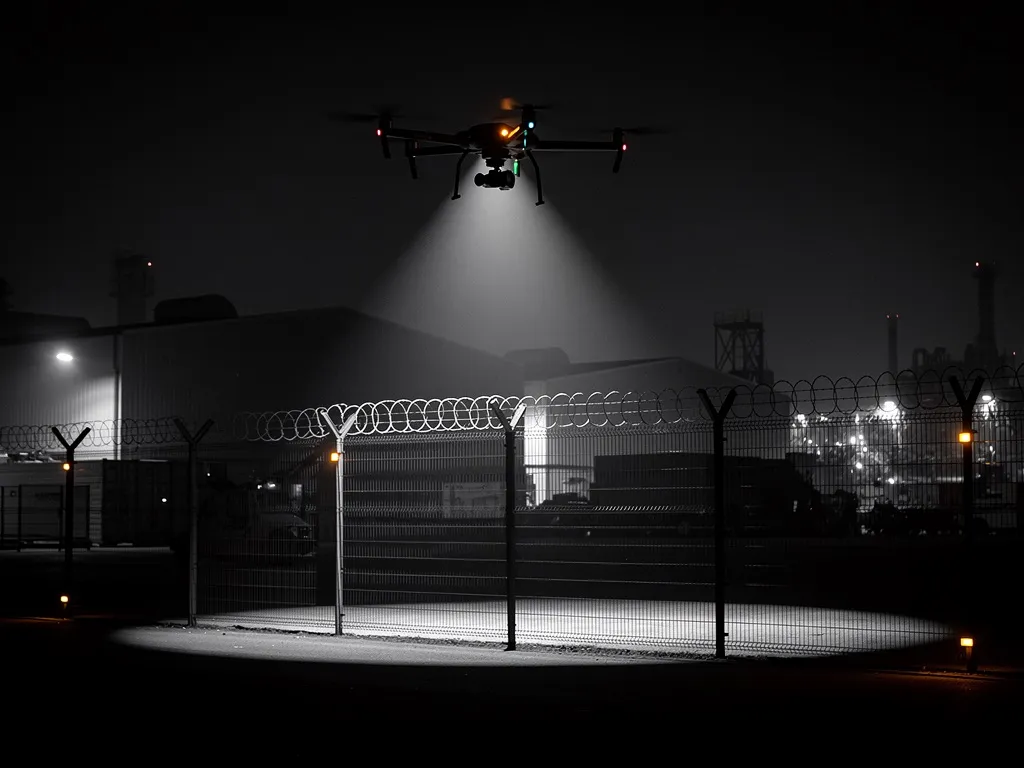
Perimeter Security
Autonomous drones, ground sensors and the DroniumApp working as one connected security system. On sensor trigger, the drone launches automatically — around the clock, with no blind spots.
Learn more →

Dronium designs, integrates and operates professional drone systems for security, inspection, environmental monitoring and precision agriculture — built for real operating conditions, not demo conditions.
Drones are no longer a niche topic — they are operational tools for security, inspection, environmental monitoring and precision agriculture. Companies, grid operators, public authorities and forestry businesses rely on drone-based systems because they work faster, more precisely and more economically than conventional methods.
Dronium combines autonomous UAV technology, matched sensor payloads and the in-house DroniumApp into one coherent system — reliable in continuous operation, compliant with EASA standards, and built entirely around our customers' requirements.
Autonomous drones, ground sensors and the DroniumApp working as one connected security system. On sensor trigger, the drone launches automatically — around the clock, with no blind spots.
Learn more →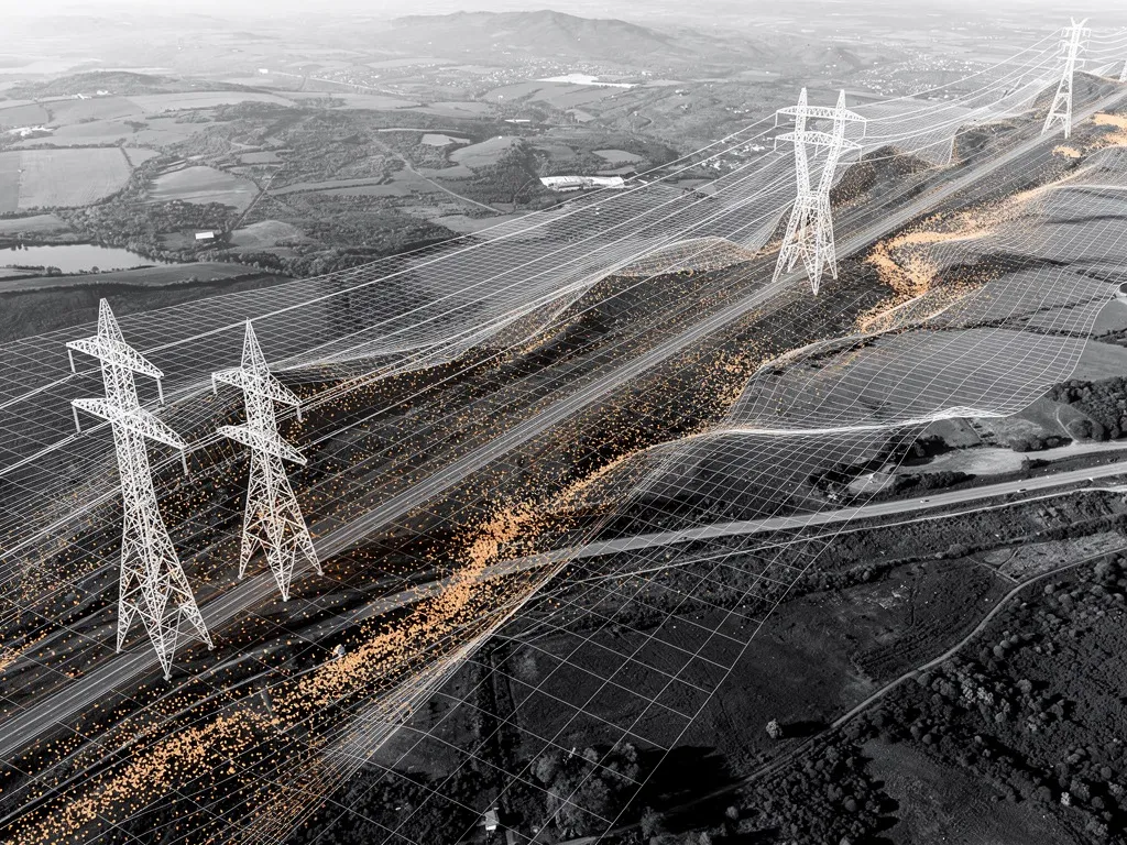
High-resolution terrain models, LiDAR point clouds and thermal maps — centimetre-accurate and importable directly into GIS and CAD systems.
Learn more →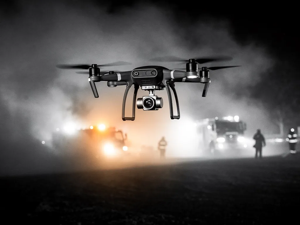
Autonomous launch on alarm, thermal imaging and live situational footage before the first vehicle arrives — integrated seamlessly into existing emergency-service infrastructure.
Learn more →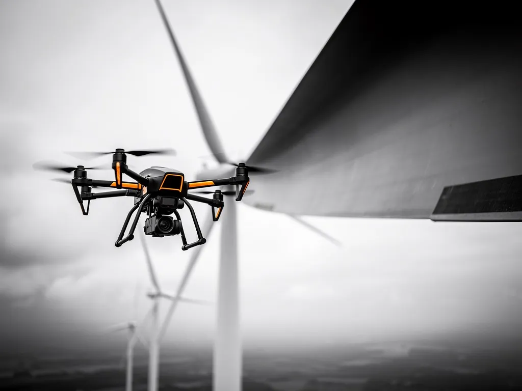
Wind turbines, bridges, chimneys and power lines — inspected in high resolution and thermal imaging, documented to TÜV and DEKRA standards.
Learn more →
Vegetation and habitat mapping, water body monitoring and wildfire early-warning systems — compatible with the EU Water Framework Directive and Natura 2000 monitoring.
Learn more →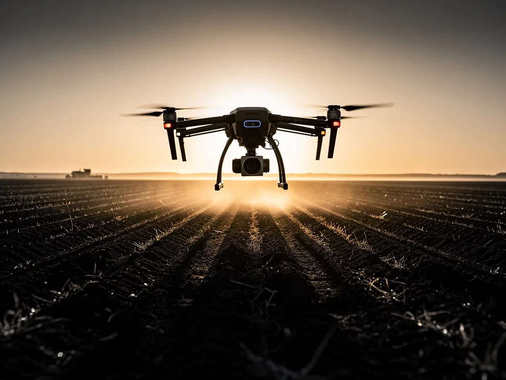
Field analysis, zone-specific irrigation, drone seeding and thermal wildlife rescue during mowing — connected in a single continuous workflow.
Learn more →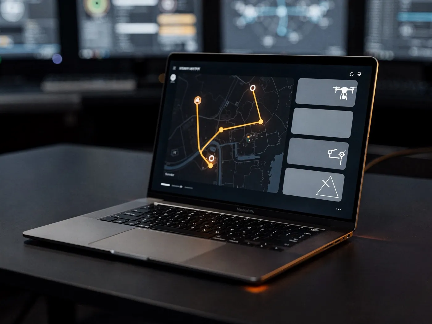
The hardware flies — but the software decides what it does and what becomes of the data. That's why Dronium built the DroniumApp from the ground up, in-house.
Browser-based, tablet-optimised, no installation required. Live monitoring, automatic mission planning, AI object detection, sensor data integration and multi-site management in a single interface — GDPR-compliant and connectable via open interfaces.
More about the DroniumApp →Grid & energy operators — regular inspection of power lines, wind farms and substations, integrated into asset-management platforms.
Industrial operators — inspection of chimneys, cooling towers and production facilities, without downtime.
Security companies — complete perimeter security for sites and secured zones, 24/7.
Public authorities & municipalities — environmental monitoring, vegetation mapping and wildfire early warning to public documentation standards.
Forestry & agricultural businesses — precision farming, drone seeding and wildlife protection, scalable from single farms to regional operations.
Emergency services & site security — first-response systems with autonomous launch on defined alarm events.
All UAV systems in operation are certified to EASA standards. Our pilots hold the required remote-pilot licences plus additional qualifications for controlled airspace and protected areas. We coordinate operating permits for special airspace directly with the responsible aviation authorities.
Data protection and information security are implemented to current standards — particularly relevant for customers in critical infrastructure and public administration.
You have a concrete task at hand — or want to understand what drone technology can do for your organisation. Either is a good place to start a conversation: free of charge, concrete, and without sales pressure.
Request a consultation →